The overall objective of this e-learning course is to improve knowledge of the European Space Programme and provides an overview on Copernicus, its services and information products, functioning and main benefits.
The course is split into two modules, the first covering an overview of the European Space Programme, the Copernicus services, and their contribution to the SDGs. The second module will cover the applications of space data in more detail, including the contribution to international partnerships projects.
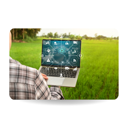
Duration: 3 hours
The two instruments of Twinning and TAIEX were presented during this info session for EU Delegations. The speakers showcased how they can be beneficial in the application of digital initiatives, which can give a chance to materialise the Team Europe approach in terms of digitalisation.
This recorded webinar is only accessible for EU staff.
In this podcast, we are joined by Dr. Kwame Adu Agyekum, Dr. Mark Higgins, and Dr. Vincent Gabaglio. Kwame works with GMES Africa, with the ECOWAS Coastal & Marine Resources Management Centre and the University of Ghana. Vincent and Mark work for EUMETSAT, or the European Organisation for the Exploitation of Meteorological Satellites. In this podcast, they tell us how EUMETSAT works together with Copernicus to deliver satellite data across the world in a reliable manner, including to the West African region, where it can be used to monitor fishing waters and serve more uses than one might guess.
Duration: 57m
In this podcast, we are joined by Vera Pinto from the Directorate-General Defence Industry and Space (DG DEFIS) of the European Commission, who works on the Galileo Global Navigation Satellite System and explains, among other things, some of the differences between Galileo and GPS, and how since 2016 Galileo reduced time to get distress signal in search-and-rescue operations down from 4 hours to far less than 10 minutes.
Duration: 33m
In this podcast, we are joined by Francesca Somma from the Directorate-General Defence Industry and Space (DG DEFIS) of the European Commission, who works on the Copernicus Climate Change Service and explains, among other things, how C3S collaborates with a great amount of (international) organisations such as ECMWF, EUMETSAT, and Mercator Ocean, and at the same time contributes to projects of DGs such as CLIMA, AGRI, MARE, SANTE, RTD, the European Environment Agency and many more.
Duration: 41 m
In this podcast, we are joined by Fabienne Jacq from the Directorate-General Defence Industry and Space (DG DEFIS) of the European Commission, who works on the Copernicus Marine Environment Monitoring Service explains, among other things, the difference between the blue ocean, white ocean, and green ocean, and the many products of CMEMS. This includes an explanation of how coastal ecosystem protection and marine weather forecast in Europe are being duplicated for the Indian Ocean region, and in many African regions.
Duration: 30m
In this podcast, we are joined by Michel Massart from the Directorate-General Defence Industry and Space (DG DEFIS) of the European Commission, who works on the Copernicus Land Monitoring Service and explains how this service has uses ranging from biomass estimation in Senegal (important for livestock, which in turn affects food security), to crop monitoring within and outside Europe (e.g. Niger, Kenya), even to Botswana declaring a drought emergency on the basis of CLMS data, helping to initiate donor support.
Duration: 41 m
In this podcast, we are joined by Attilio Gambardella from the Directorate-General Defence Industry and Space (DG DEFIS) of the European Commission, who works on the Copernicus Emergency Management Service and explains how this service can deliver data to aid in the short- and long-term, including in emergency responses, in preparedness, prevention, and recovery (on-the-map or mapping), and even in early warning systems.
Duration: 26 m
In this podcast, we are joined by Cristina Ananasso (DG DEFIS) of the European Commission, who works on the Copernicus Atmosphere Monitoring Service and explains how this service has uses ranging from monitoring wildfires around the globe, all the way to providing data for apps that can tell allergy sufferers on which days pollen levels will be high.
Duration: 40 m
This webinar is part of a series of two about Artificial Intelligence. It covers an introduction on basic concepts of AI and its impact in our daily life, an overview of AI in developing countries and a presentation of the EU strategy, main policies and key geopolitical challenges in AI.
Duration: 70 m
The course will explore the main concepts of digital dynamics, present milestone documents on the wider policy framework of digitalisation, introduce EU objectives and strategies for the digital age and analyse how digital solutions can help with other challenges such as climate change.